


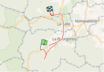

28 km | 37 km-effort

Gebruiker


Gratisgps-wandelapplicatie
 SityTrail
IGN / Geografische instituten
SityTrail World
De wereld gaat voor u open
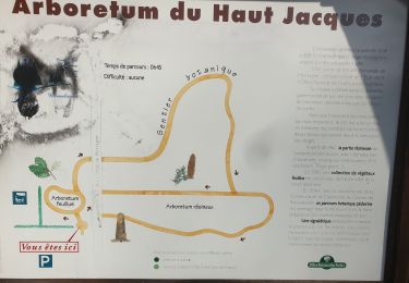
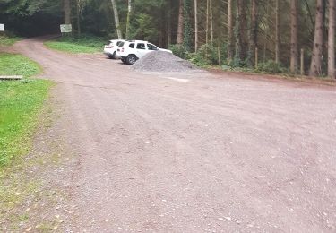
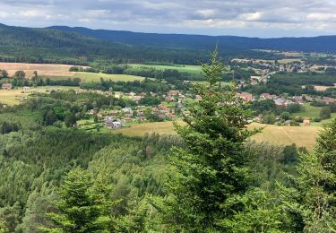
Tocht Geocaching van 10 km beschikbaar op Grand Est, Vogezen, La Bourgonce. Deze tocht wordt voorgesteld door S CHAMPAGNE.

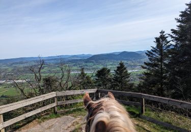
Paardrijden
Mountainbike

Mountainbike

Te voet
Te voet
Mountainbike
Trail
Stappen

Stappen